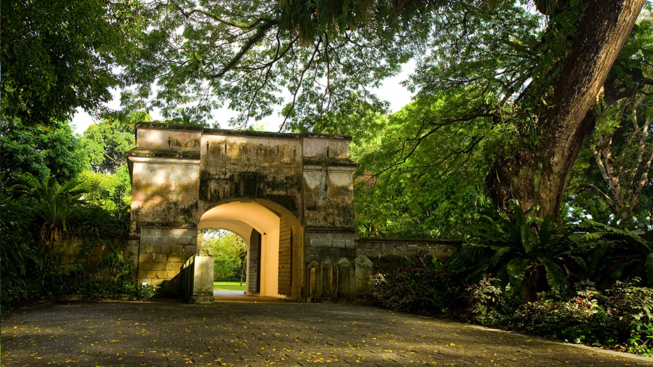
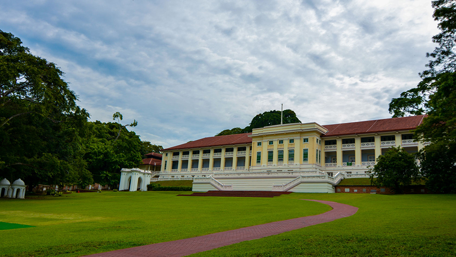
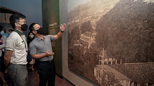
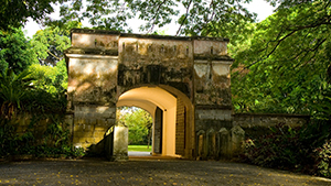
Fort Canning Park, an iconic hilltop landmark has witnessed many of Singapore’s historical milestones. The hill once sited the palaces of 14th century Kings and served as the Headquarters of the Far East Command Centre and British Army Barracks. The decision to surrender Singapore to the Japanese on 15 February 1942 was also made on the hill, in the Underground Far East Command Centre, commonly known as Battle Box.
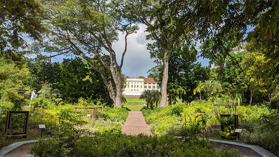
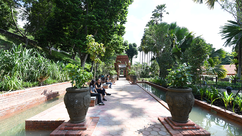
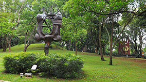
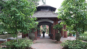
Today, Fort Canning Park features nine historical gardens - the Pancur Larangan, Artisan’s Garden, Sang Nila Utama Garden, Jubilee Park (Phase 1), Raffles Garden, First Botanic Garden, Farquhar Garden, Spice Garden and Armenian Street Park.
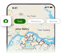
Accompanying these gardens are wayfinding and trail guides which will allow visitors to plan their own trail and explore the hill at their own pace. Visitors can also download the augmented reality trail, BALIKSG: The Fort Canning Trail. The app will bring park visitors on an interactive journey through Fort Canning Park, revisiting the hill back when it was known as Bukit Larangan or Government Hill. The total length of the trail is about 2.5km, with eight checkpoints placed throughout the park including the various gardens. Visitors can look out for the AR marker in the park and start the app at any point.
Click here to join us for a virtual tour around Fort Canning Park | An NParks Virtual Tour.
To get to Fort Canning Park, visitors can make use of the covered escalators from Fort Canning MRT station and Bras Basah MRT station to the top of Fort Canning Park.
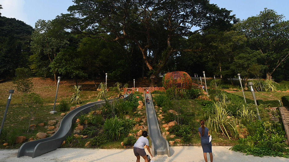
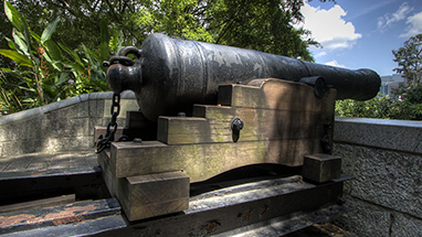
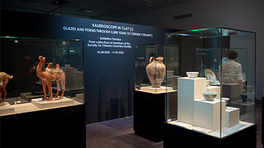
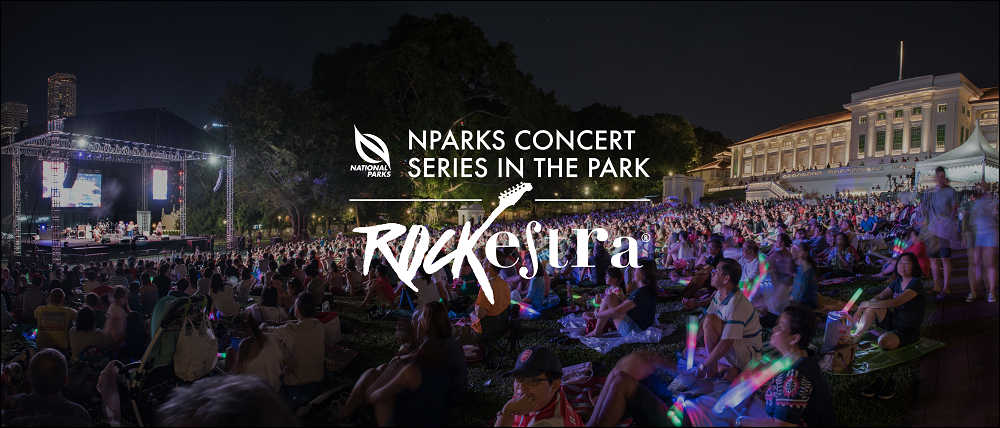
Fort Canning Park is a venue for celebrations. Its expansive, sprawling lawns play host to concerts, theatre productions and festivals such as Shakespeare in the Park, Ballet Under the Stars, Shakespeare in the Park and Films at the Fort, while weddings, parties and gatherings are a regular sight in the park's venue spaces. Its ancient artefacts are a must-see for history buffs, and its lush greenery and expansive lawns offer a variety of arts, heritage and nature experiences. Whether you are drawn by the park’s ancient artefacts and rich heritage or simply its tranquility, this hilltop park offers something for the whole family.
View here for the map of Fort Canning Park.
Click here to sign up as a volunteer with Fort Canning Park.
Location
Fort Canning Park is bounded by Hill Street, Canning Rise, Clemenceau Avenue and River Valley Road
Get Directions
Park Information
How to get there:
By MRT:
Alight at Fort Canning Station (Exit B), Clarke Quay Station (Exit E) or Dhoby Ghaut Station (Exit B).
- Fort Canning Station: Come out from Exit B, turn left to Jubilee Park.
- Clarke Quay Station: Come out from Exit E, turn left and walk along Coleman Bridge. Turn left again at the end of Coleman Bridge and head towards the pedestrian overhead bridge (100m away) along River Valley Road. Cross the overhead bridge and you will enter Fort Canning Park.
- Dhoby Ghaut Station: Come out from Exit B, cross Penang Road, turn left and keep a lookout for the tunnel leading to Fort Canning Park.
Park Size: 18 hectares
Park lighting hours: 7.00pm to 7.00am
Nearby Parks/Park Connectors: Dhoby Ghaut Green, Istana Park, Raffles Place Park
Accessibility: Wheelchair accessible (from drop off at Cox Terrace roundabout)